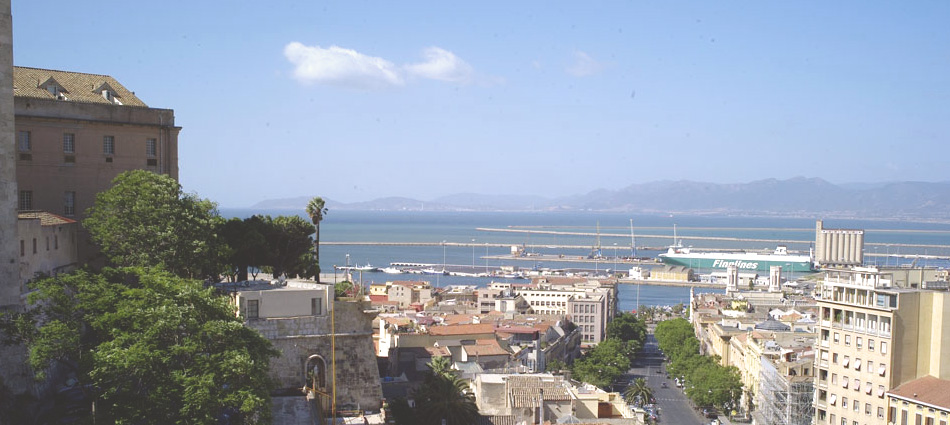
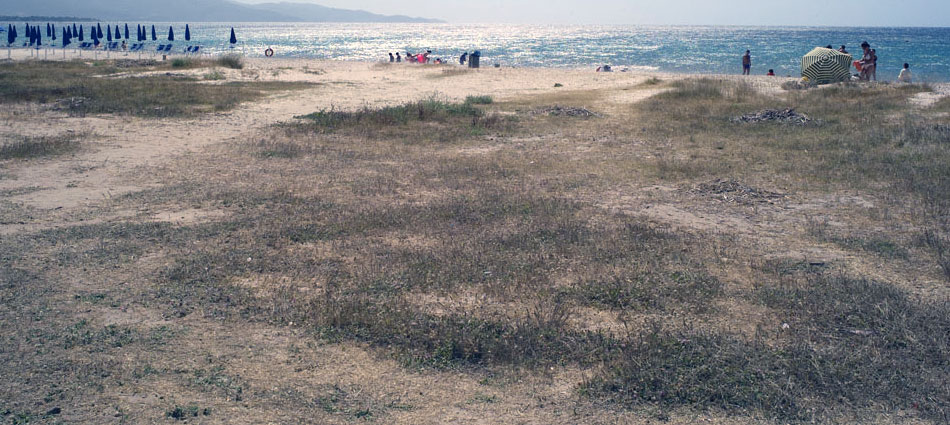
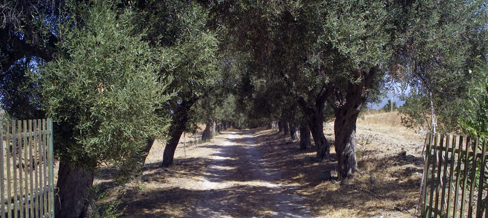
Quartu Sant‘Elena, Cagliari
2009
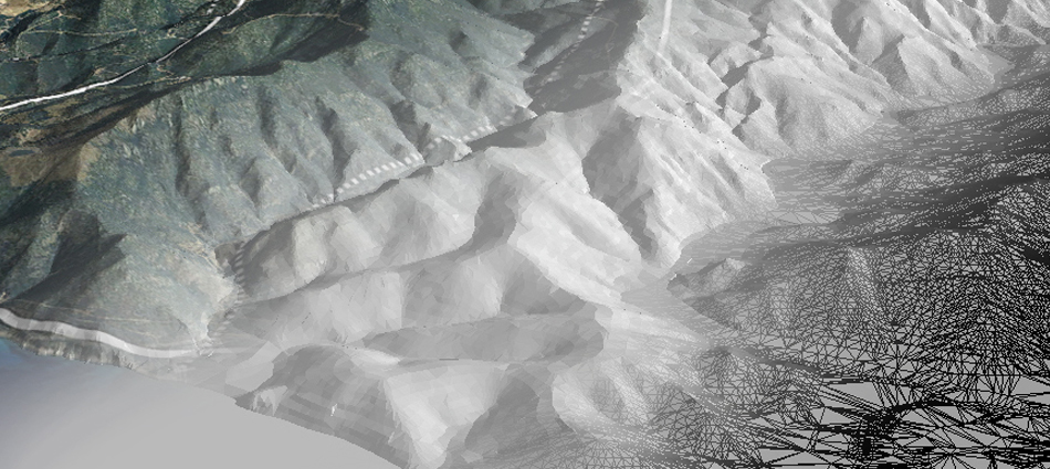
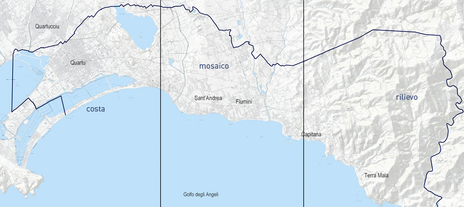
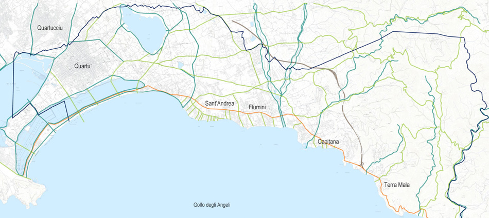
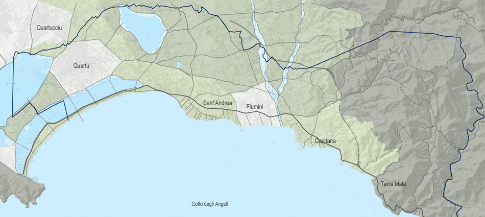
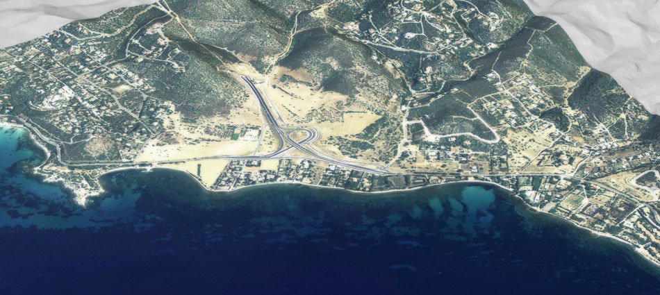
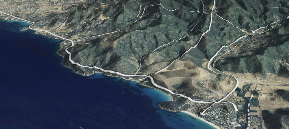
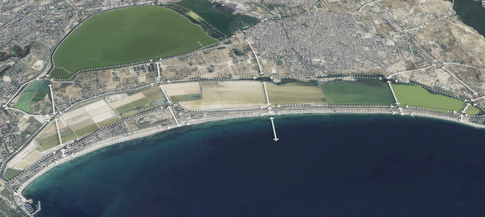
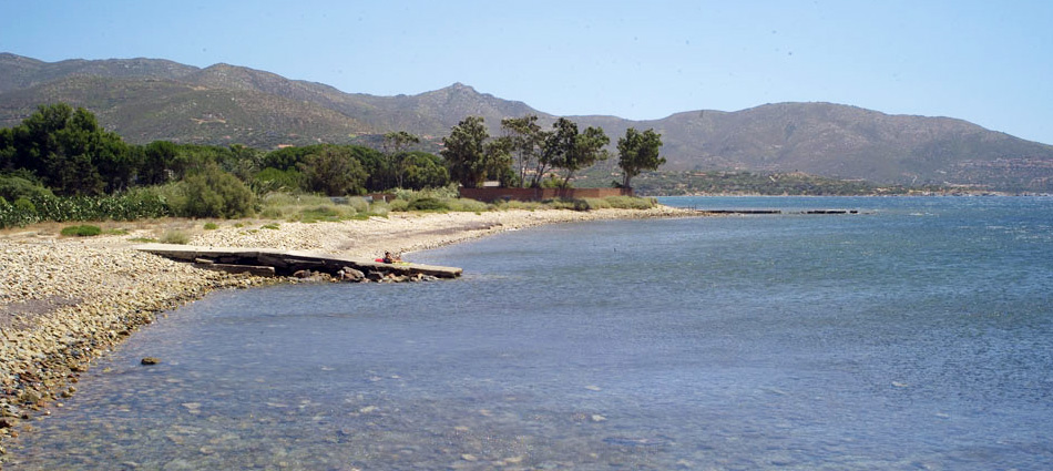
The area of Quartu Sant’Elena is located on a steep terrain along an ocean front. The local government has solicited Atelier Girot to accompany them in defining a master plan for future urban development. The objective of the study is to clearly identify the landscape areas and signatures of this region in order to insure their protection as development continues. Several challenges are to be resolved in this study: the complex topographic analysis, defining a strategy for the remaining infrastructural remnants along the coast, the identification of signature landscape to define urban development typologies, and lastly, a solution to linking three distinct city centers. Combined with photographs and satellite imagery, the GIS geo-referencing and 3D visualization allow us to identify, at the micro level, landscape, circulation, water runoff, zoning strategies and areas needing resolution. This master plan will be used as the guideline in the local governmental decrees on urban development.