Zollstrasse, Zürich
with agps.architecture Marc Angelil, 2011-2015
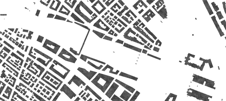
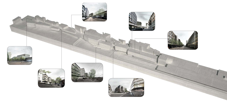
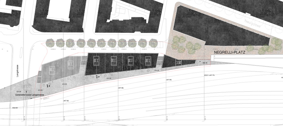
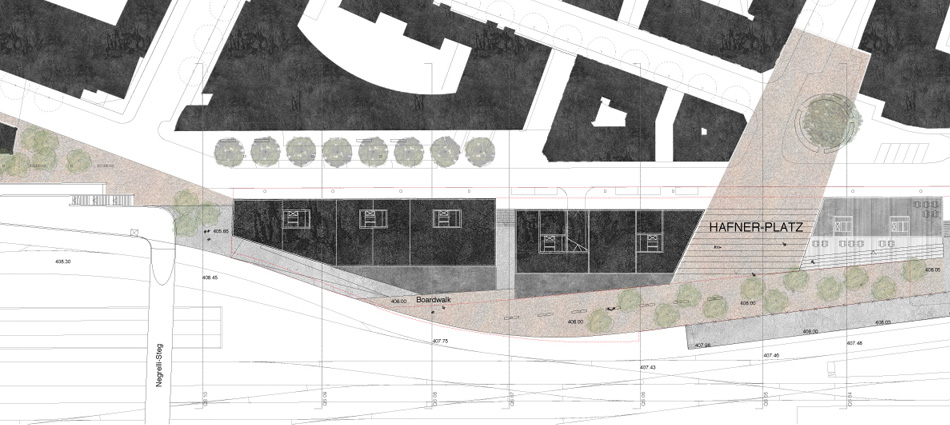
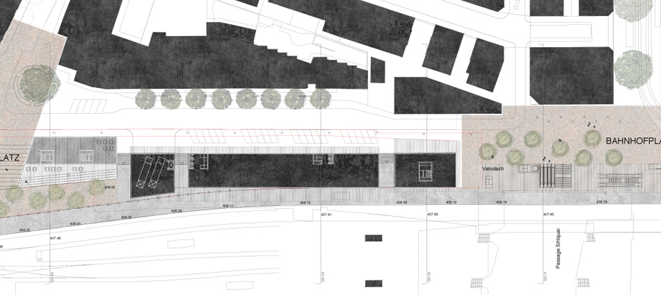
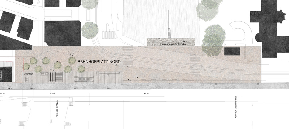
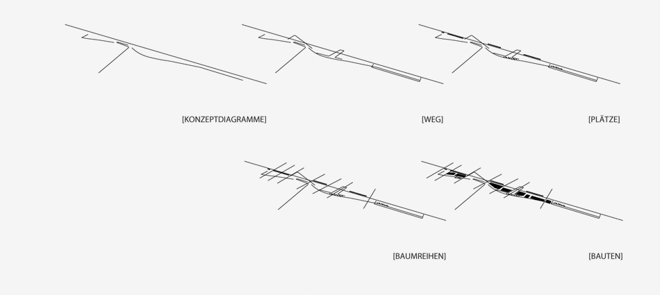
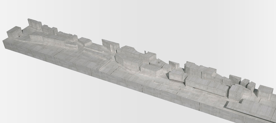
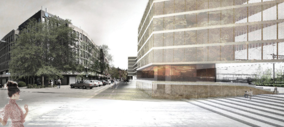
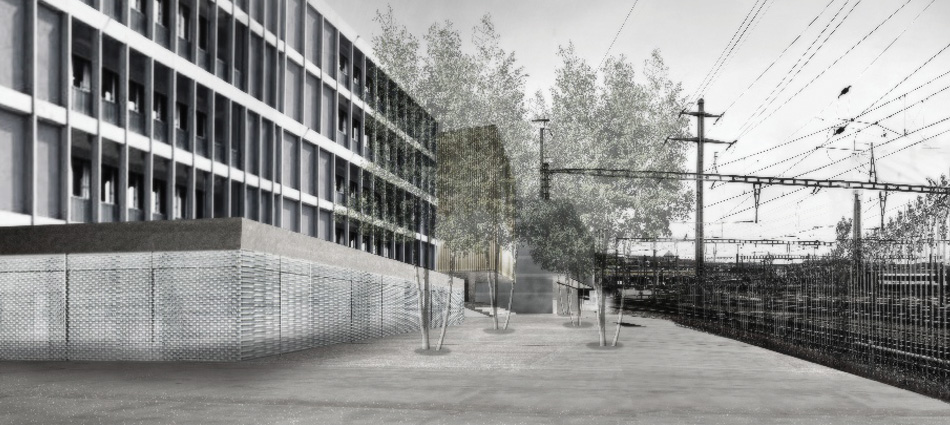
This project aims to prove that the district can respond robustly to future developments. First, it is important to strengthen the role of public realm. Second, is to give options for different urban sections, which would give the opportunity to form neighborhood- specific identities and would help a reaction of the district. The working method refers to the ‘Nolli Plan’, which gives an interpretation to the structure of the city as a mass from which cavities are subtracted, both in plan and section. The primary street, the Zollstrasse, is the urban backbone of the project and a pedestrian friendly axis trough Kreis 5, which leads from the Langstrasse to Zürich Hauptbanhof. Along this axis numerous public and semi-public spaces are established, to improve the relation between the compressed district and the open space of the railway. The articulation of these spaces both in plan and section and their morphological features act as tools to define the Zollstrasse as a border condition. A sequence of road-sections defines the physical and conceptual core of the project. The existing trees are untouched and more trees are planted but without forming a coherent avenue. The five rows of trees are proposed with the intent to create areas of peculiar and differentiated character.